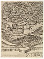
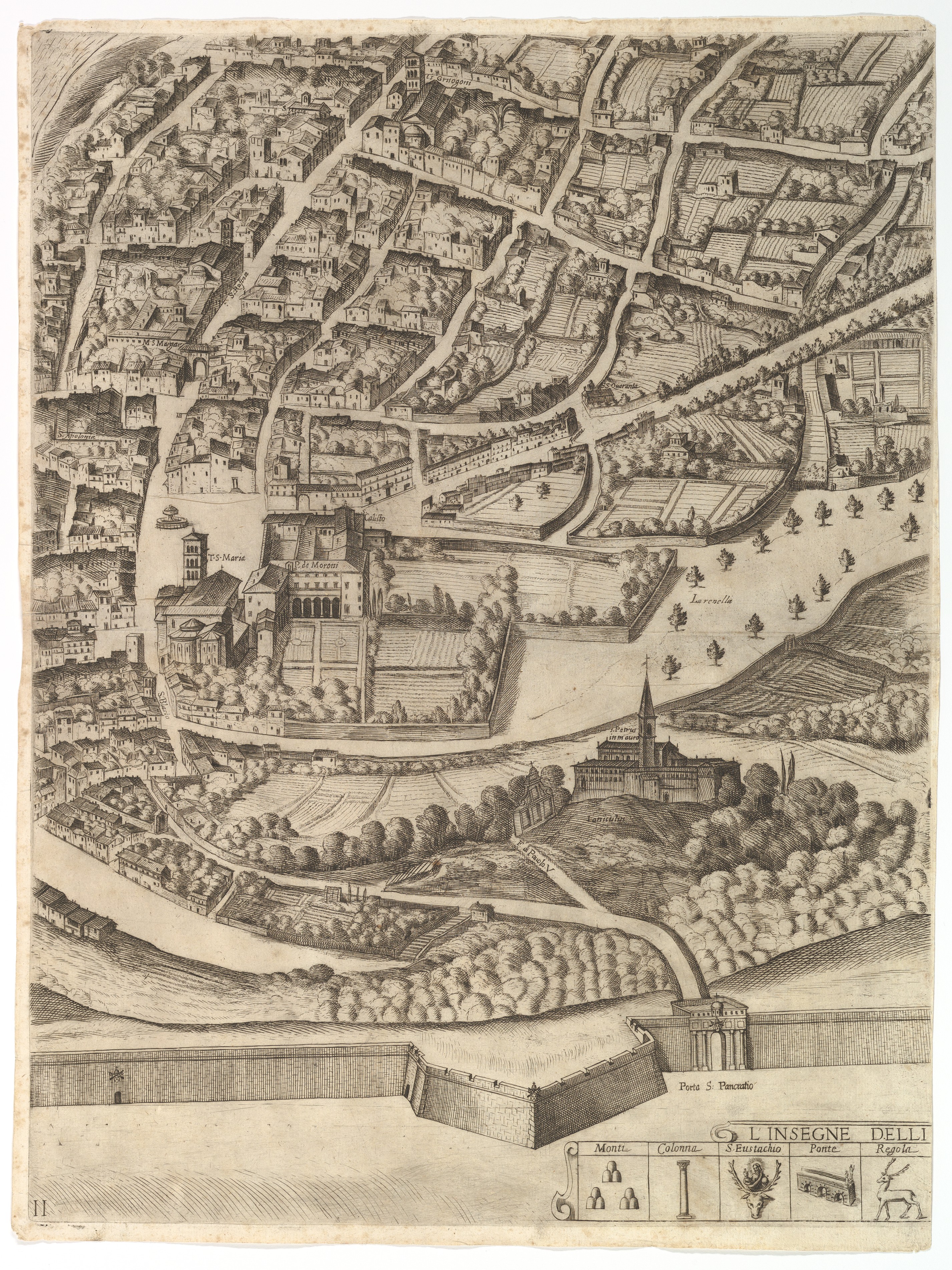
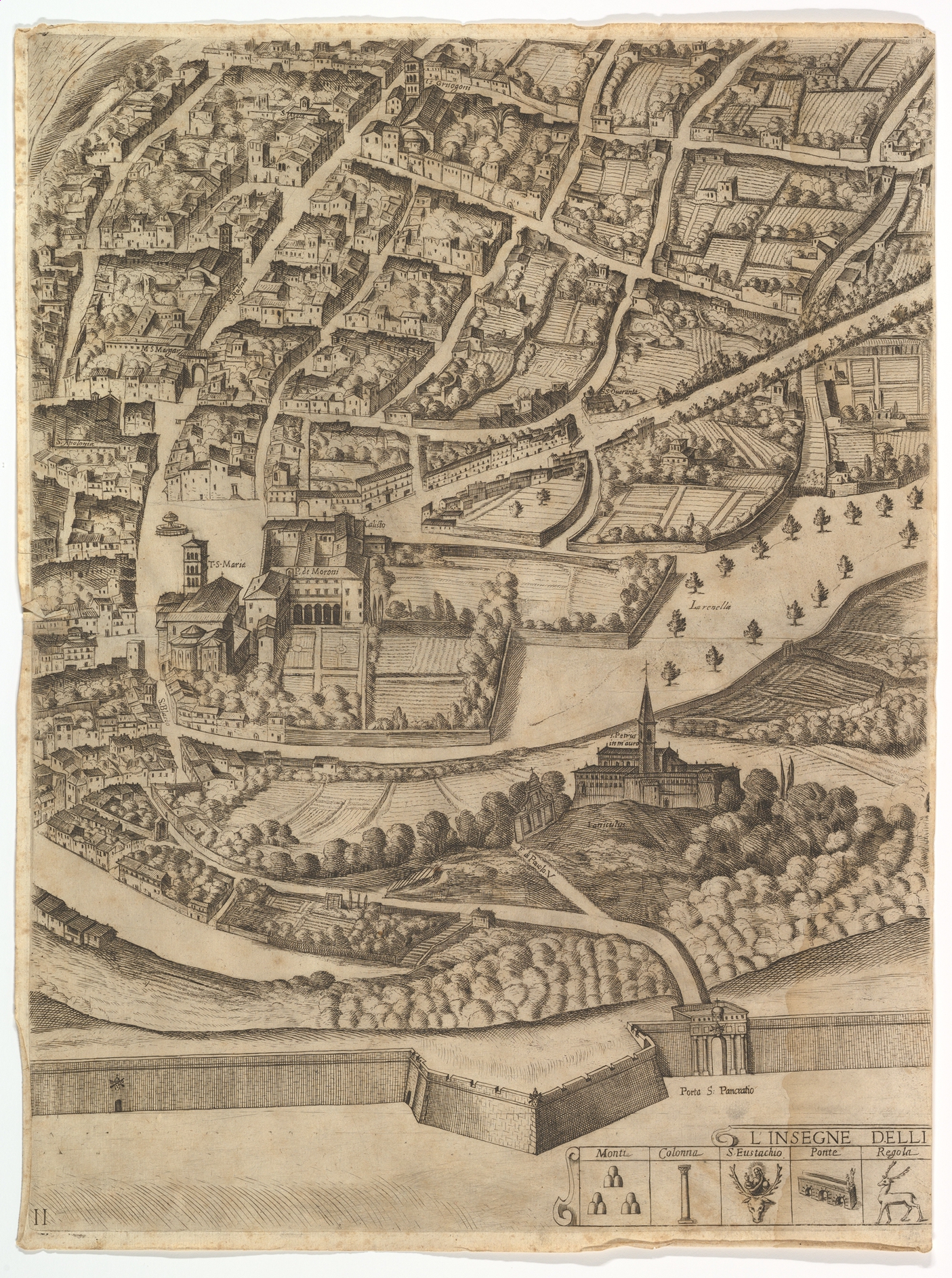
Plan of the City of Rome. Part 11 with the San Pancrazio (left bank)
Antonio Tempesta Italian
Publisher Giovanni Domenico de Rossi Italian
Dedicatee Cardinal Camillo Pamphili Italian
Not on view
Part of the lower half of the map of Rome. Depicted is a southern part of the city with a view of both the left bank where the San Pancrazio can be identified. In the lower margin the symbols for the first five boroughs of Rome are identified: Monti; Colonna; Sant' Eustachio; Ponte; Regola.
Due to rights restrictions, this image cannot be enlarged, viewed at full screen, or downloaded.

This artwork is meant to be viewed from right to left. Scroll left to view more.


