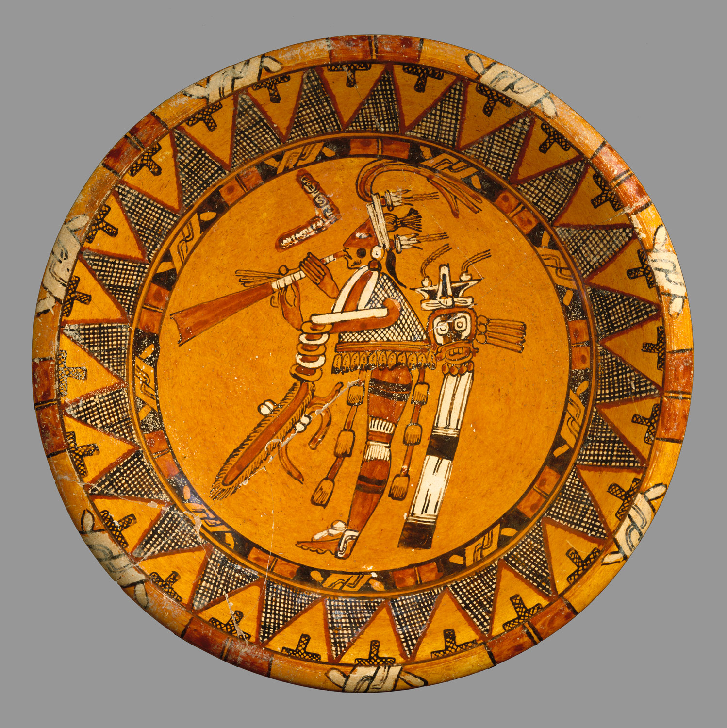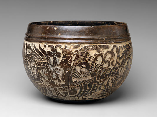
In the seventh century, the central and northern Maya lowlands experience substantial population growth. Hundreds of settlements, large and small, fill a region stretching from Palenque in the west to Altun Há in the east, and from Uxmal in the north to Copán in the south. More than sixty kingdoms, each ruled by a k’uhul ajaw (“divine lord”), compete for control of land, raw materials, and trade routes. Their intense political and economic rivalry is also apparent in the unprecedented profusion of artistic production and diversity of styles. Early in the ninth century, the dynasties of the central region begin to collapse, population levels decline sharply, and most centers are abandoned by about 900 A.D., never to be substantially reoccupied. The northern centers are unaffected by these events and continue to flourish.
Maya Area, 500–1000 A.D.
-
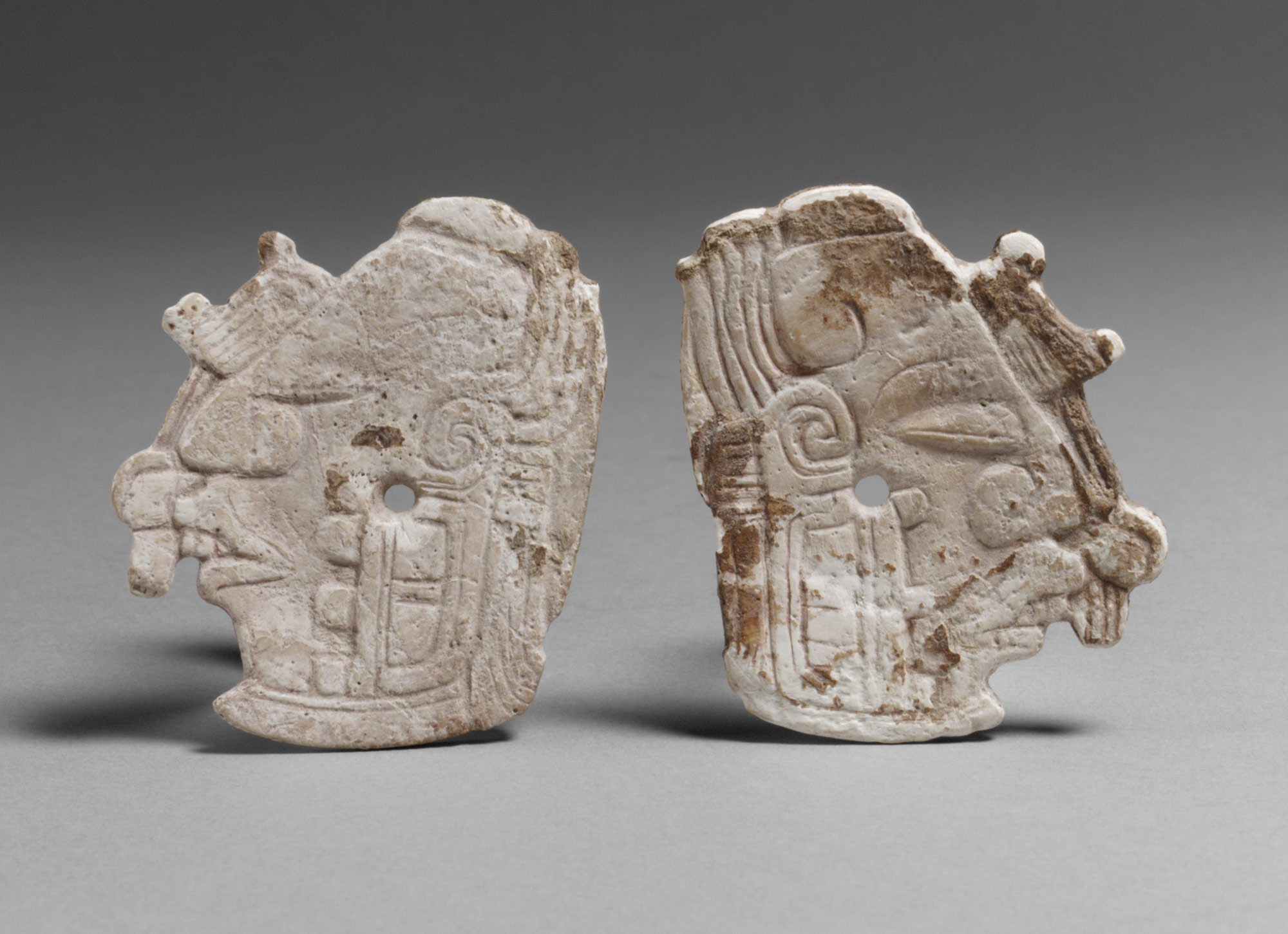
 1995.489a,b
 -
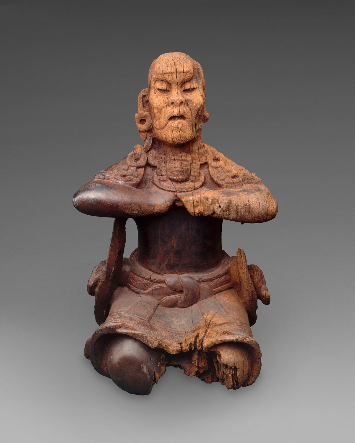
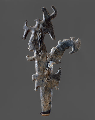
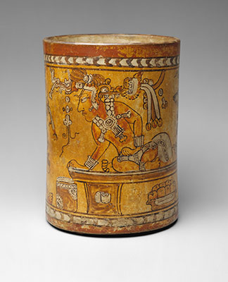
 1979.206.1063
 -
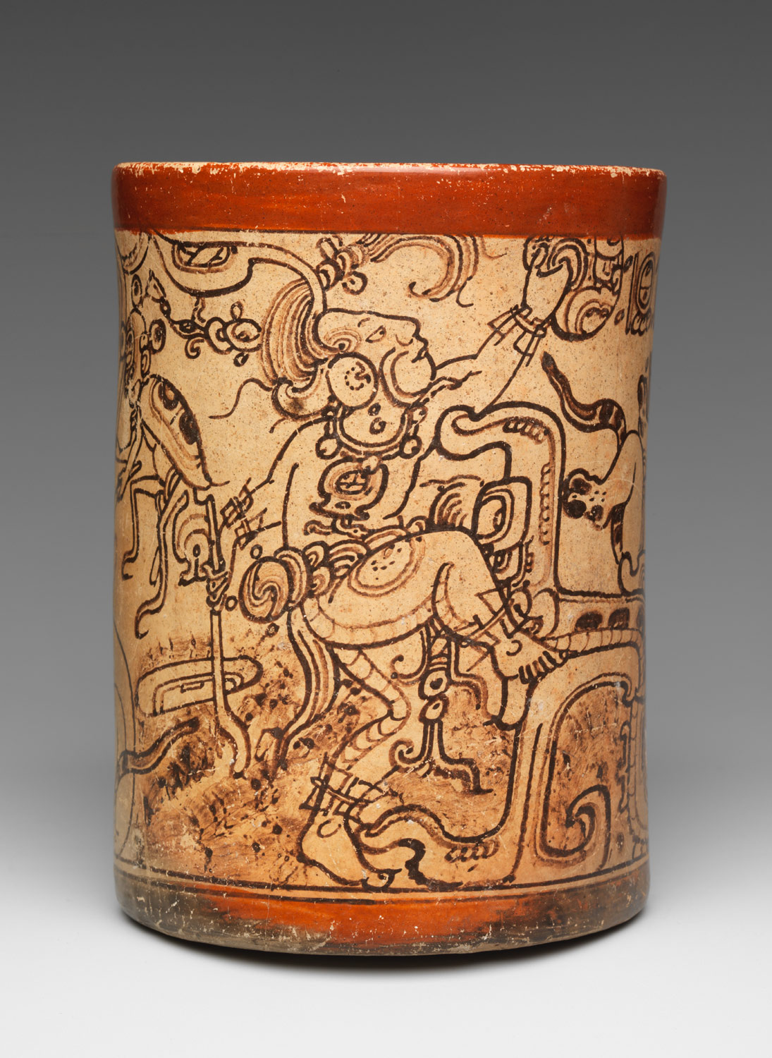
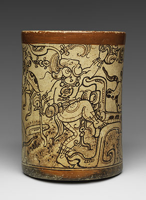
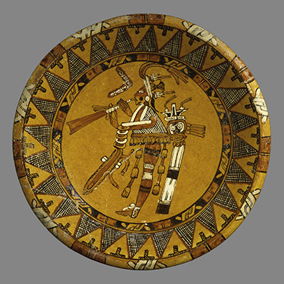
 2000.60
 -
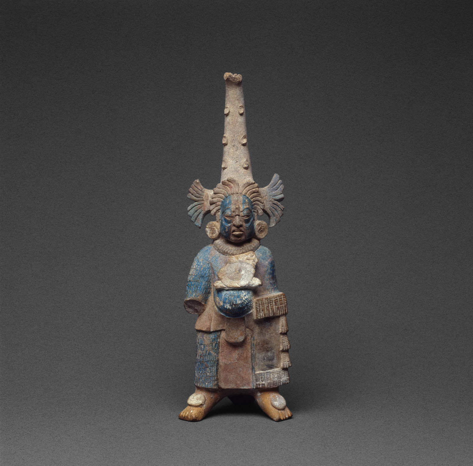
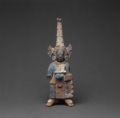
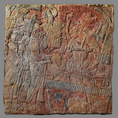
 1978.412.195
 -
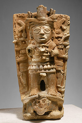
 1978.412.206
 -
 1979.206.953
 -
 1978.412.99
 -
 1999.484.2
 -
 1989.110
 -
 1979.206.1047
Timeline
500 A.D.
625 A.D.
NORTHERN REGION
CENTRAL REGION
SOUTHERN REGION
625 A.D.
750 A.D.
NORTHERN REGION
CENTRAL REGION
SOUTHERN REGION
750 A.D.
875 A.D.
NORTHERN REGION
CENTRAL REGION
SOUTHERN REGION
875 A.D.
1000 A.D.
NORTHERN REGION
CENTRAL REGION
SOUTHERN REGION
Overview
Key Events
-
ca. 504
A major expansion of Copán’s ceremonial center, the Acropolis complex, is undertaken by B’alam Nan (Waterlily Jaguar; r. 504-24), the seventh dynastic ruler of the southeastern Maya city.
-
ca. 562
Tikal ruler Wak Chan K’awiil (Double Bird, r. 537–62) is taken captive, apparently by the ruler of Calakmul. His capture begins a period of decline at Tikal that lasts more than a hundred years, during which no major construction is carried out nor dated monuments erected. Calakmul is the most powerful kingdom in the central area.
-
ca. 600
On the Yucatán Peninsula, three distinct architectural and ceramic traditions are established and flourish for the next 300 years: Río Bec, Chenes, and Puuk. Hieroglyphic inscriptions and dates are rare in Yucatán.
-
ca. 600
At Cotzumalhuapa on the Pacific coast of Guatemala, a Mexicanized culture produces many finely carved stone monuments featuring ballgame rituals played by humans and supernatural beings.
-
ca. 615
At Palenque in the west, K’inich Janaab’ Pakal I (Sun Shield, r. 615–83) becomes ruler on 9.9.2.4.8 (July 26, 615 A.D.) at the age of twelve. Ruling for sixty-eight years, he aggrandizes the site with impressively planned and elegantly decorated buildings such as the Palace and the Temple of the Inscriptions.
-
ca. 636
The fifty-year reign of Yuknoom Ch’een II (Yuknoom the Great, r. 636–86) at Calakmul brings new construction of palace compounds, and the dedication of eighteen stone monuments, or stelae.
-
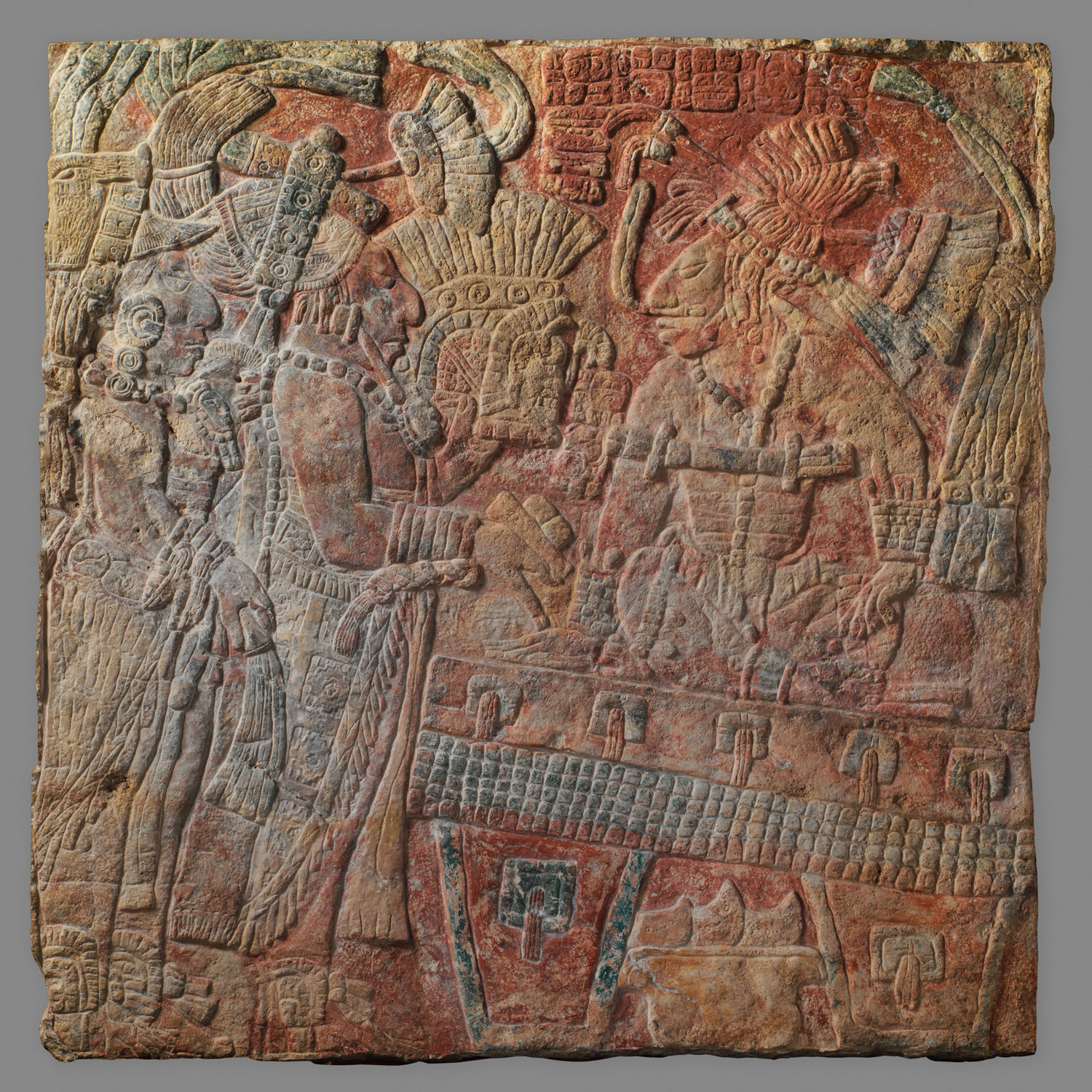
ca. 692
At Palenque, three related temples known as the Cross Group are dedicated. Carved limestone panels with a unified imagery are placed on the inner walls of the shrines. Images and hieroglyphic texts include mythic and historic subjects.
-
ca. 695
Artistic and literary traditions are revived at Tikal after Jasaw Chan K’awiil I (Ruler A, r. 682–734) defeats the king of Calakmul. Later in his reign, Great Temples 1 and 2 are built on the east and west sides of the Great Plaza in front of the North Acropolis.
-
ca. 695
Waxaklajuun Ub’aah K’awiil (18 Rabbit, r. 695–738) of Copán becomes ruler on 9.13.3.6.8 (July 6, 695 A.D.). A prolific builder, he commissions the initial Hieroglyphic Stairway, remodels the Ballcourt, and has seven stelae erected between 711 and 731. Carved almost in the round, they depict him as the all-powerful k’uhul ajaw (“divine lord”) covered with a proliferation of royal and supernatural insignia.
-
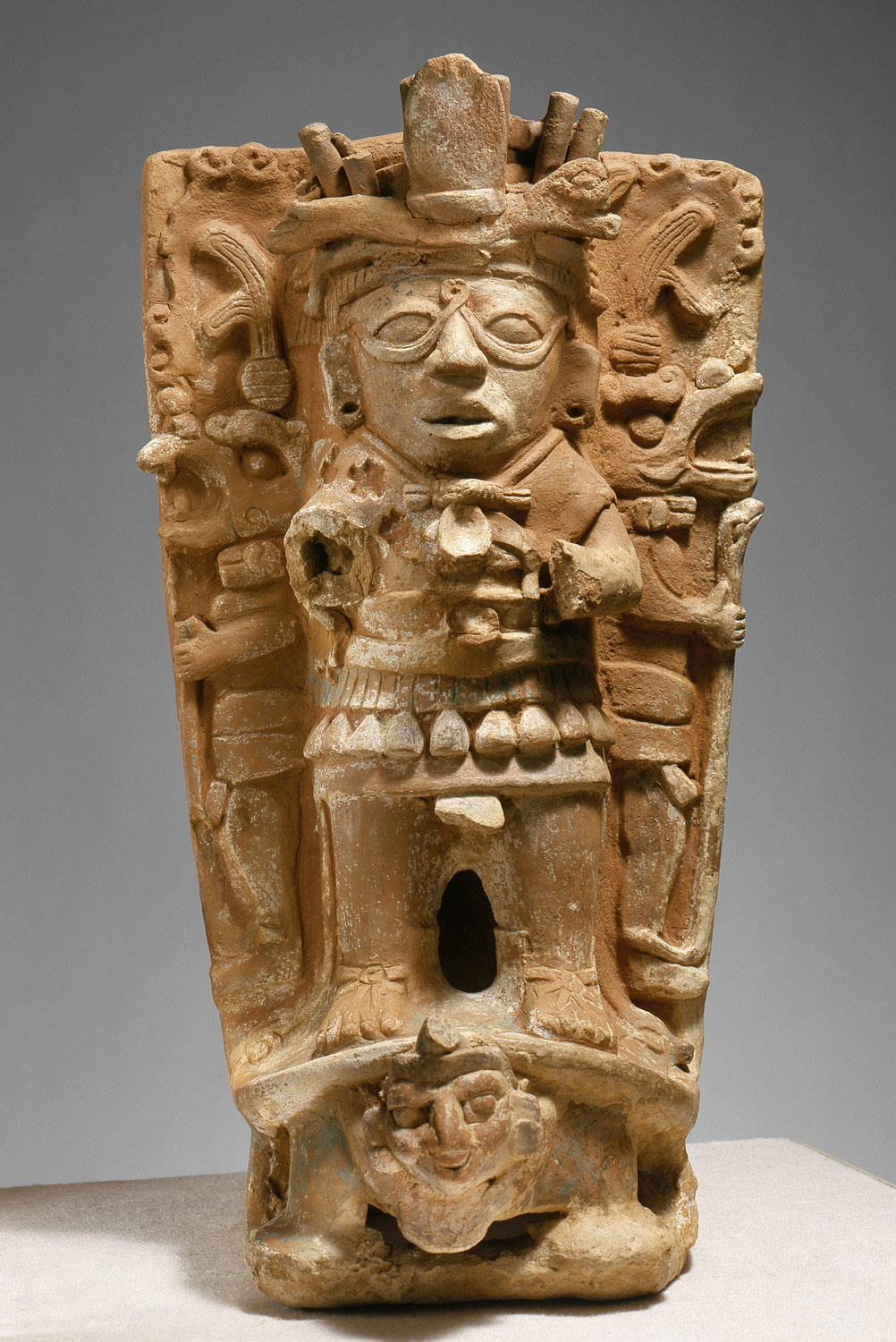
ca. 700
Jaina, a small island off the coast of Campeche, is used as a necropolis. The burials contain hundreds of small ceramic figures. Both hand-modeled and mold-made, the small sculptures are produced in a variety of colorful images.
-
ca. 734
Jasaw Chan K’awiil I (Ruler A, r. 682–734) dies at Tikal and is buried beneath Temple 1 on the Great Plaza. He is laid out on jaguar skin, arrayed in much fine jade jewelry, and accompanied by objects of shell, pearl, and bone. Numerous painted ceramic vessels are present.
-
ca. 738
Copán’s ruler, 18 Rabbit (r. 695–738), is taken captive on 9.15.6.4.16 (May 3, 738 A.D.) and decapitated by ruler K’ak’ Tiliw Chan Yoaat (Fire-Burning Sky Lightning God, r. 724–85) of Quiriguá in the Motagua valley. The victor will erect three of the tallest stelae—approximately twenty-four feet—ever put up by the Maya.
-
ca. 750
Several Puuk-style buildings are begun at Chichén Itzá in northern Yucatán. The Sacred Well, a large natural sinkhole some eighty feet deep, is used as a repository for offerings.
-
ca. 790
Well-preserved unfinished polychrome wall paintings at Bonampak in the central lowlands depict a battle scene, the dispatching of prisoners witnessed by Chan Muwan (r. 776–90), king of Bonampak, and victory celebrations.
-
ca. 800
Conflict between neighboring cities in the central area increases, trade declines, and long-standing alliances break up, leading to the abandonment of many cities. Some larger centers persevere for a time.
-
ca. 800
Coba, in northeastern Yucatán, sprawls across more than twelve square miles, its architecture designed and built using southern Petén-style methods. The central urban core includes several temple pyramids, two ballcourts, over thirty carved stelae, and a network of sixteen elevated causeways (sakbe), some of which extend outwards as much as forty miles.
-
ca. 849
Five stelae are erected at Seibal on the Pasión River recording the katun—ending 10.1.0.0.0 (December 1, 849 A.D.). Details of the imagery and the calendric glyphs on the stelae are carved in a foreign, non-Maya style.
-
ca. 850
Uxmal becomes the capital of a large state in the Puuk hills region of northern Yucatán which lasts about a hundred years. Uxmal is connected by causeways (sakbe) to other important Puuk sites, such as K’abah, Sayil, and Labna.
-
ca. 869
The last stela is erected in Tikal by Jasaw Chan K’awiil II (dates unknown) in the Great Plaza. Subsequently the city is deserted and taken over by squatters.
-
ca. 900
The construction of the House of the Governor and the Nunnery Quadrangle are commissioned by Lord Chak at Uxmal.
-
ca. 900
Dedicated by an unidentified ruler on 10.4.0.0.0 (January 15, 909 A.D.), Monument 101 at Toniná is the last monument inscribed with a Long Count date in the entire Maya area. Toniná is located south of Palenque in the hills of central Chiapas.
-
ca. 1000
Chichén Itzá rules over most of northern and western Yucatán. The architecture and art shows striking similarities to Tula in the Mexican highlands: colonnades and serpent columns, and relief panels depicting eagles holding human hearts in their talons.
Citation
“Maya Area, 500–1000 A.D.” In Heilbrunn Timeline of Art History. New York: The Metropolitan Museum of Art, 2000–. http://www.metmuseum.org/toah/ht/?period=06®ion=caa (October 2001)
Related
Map